Ash
Consulting
GIS product design & development

Beautiful GIS web applications built for real-world decisions.

Ash Consulting designs and develops interactive mapping platforms that turn complex spatial data into clear, scalable digital tools.

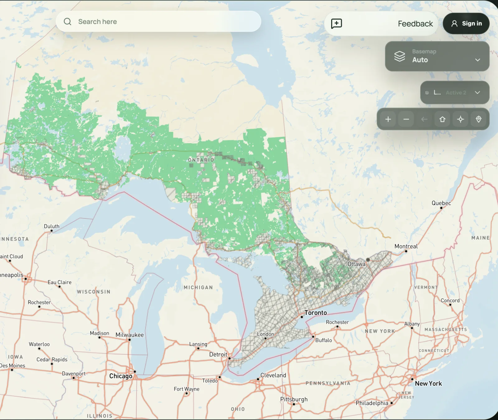
CrownAccess
Live web map preview
Open Map
See what we are currently building
Pan, zoom & explore
45.4215° N   75.6972° W
Selected work
GIS product development

Open Urban Forests

A national view of urban forestry geospatial data in Canada.

Environment

Georgian Bay Mnidoo Gamii Biosphere Lake Partner Program

Coverage gaps, phosphorus concern areas, and monitoring priorities.

Tourism

Interactive Tourist Map for France

Custom database and map discovery experience. In construction.

Retail

Better Bovine Store Locator

A fast local-availability finder for Better Bovine customers.

Staffing

PLAN A Senior Care Staffing and Recruitment

Recruitment and regional discovery experience. In construction.

Services

Spatial products built to work beautifully.

Custom geospatial applications that are visually refined, technically strong, and designed for long-term use.

01 / Build

Custom GIS Web Applications

Interactive map-based products built around real workflows and real users.

  • Custom map interfaces and application architecture
  • Responsive experiences for desktop and mobile
  • Filtering, search, legends, and attribute exploration
02 / See

Spatial Dashboards and Visualization

Clear interfaces that help users understand data, place, and patterns quickly.

  • Interactive dashboards and location-based data views
  • 2D and 3D geospatial visualization
  • GeoJSON, spatial layers, charts, and decision support tools
03 / Sustain

Support, Maintenance and Upgrades

Applications designed to stay stable, useful, and current over time.

  • Long-term maintenance and bug resolution
  • Feature expansion and UX improvements
  • Performance tuning and ongoing technical support
Team

Geospatial perspective. Product discipline.

Domain knowledge, GIS application development, and modern web engineering brought together in one focused practice.

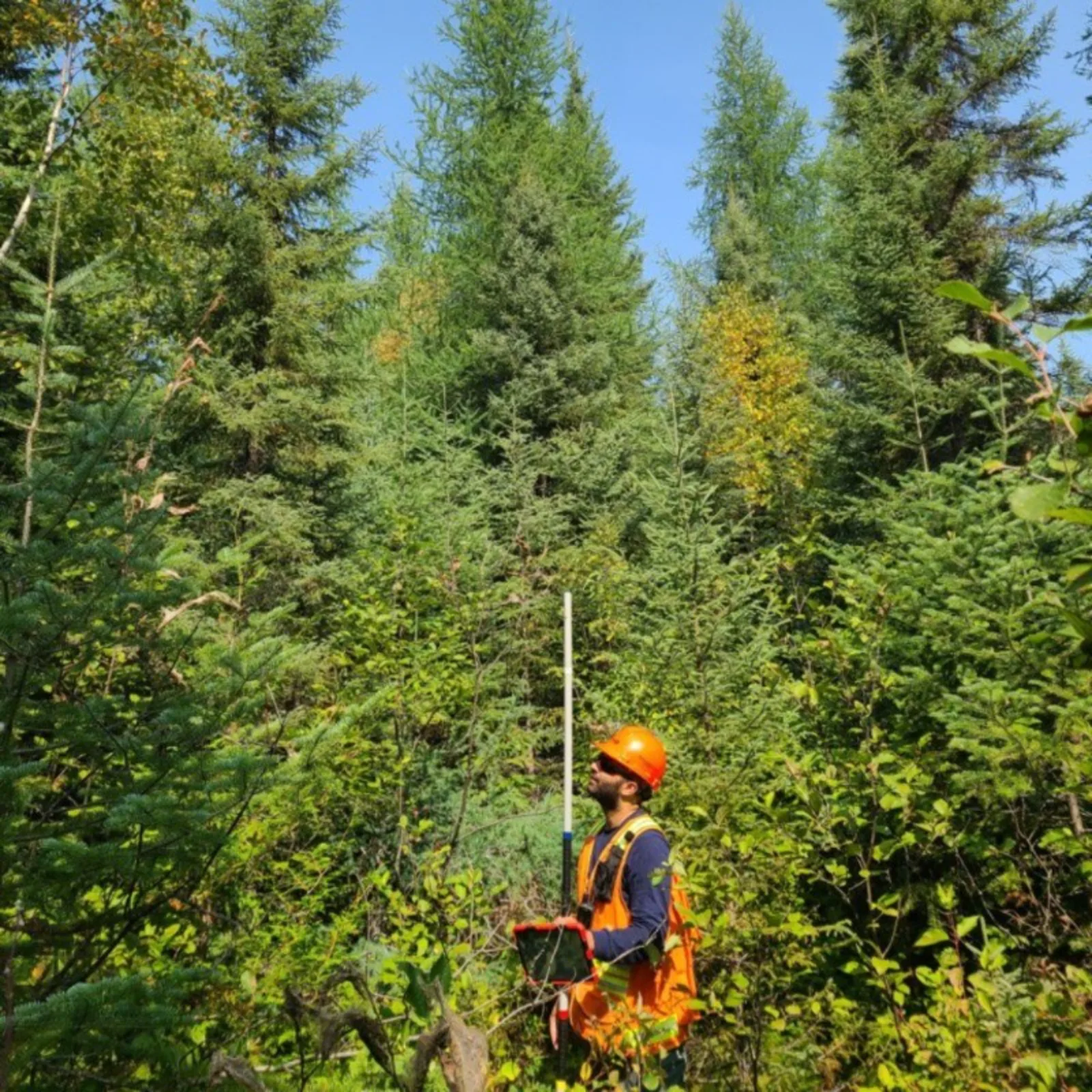
Asad Choudhry conducting a forest field survey
GIS product development

Asad Choudhry, R.P.F.

Product development

Asad proposed Open Urban Forests, establishing the first national view of urban forestry geospatial data in Canada. His focus is turning complex spatial data into clear, interactive tools people can confidently use.

Contact

Start your project.

If you need a custom GIS web application, spatial dashboard, or interactive mapping platform, reach out with your idea and we can discuss scope, timeline, and next steps.

Email asad@ashconsult.ca Book a consultation

Share your project context, the spatial data involved, and what you want the final product to do. We’ll shape it into a clear, buildable GIS product.